[
https://afweather.afwa.af.mil/images/satellite/ANI_SYN_MSG000IR_L.GIF
]
[
http://www.meteo.be/gfx/Images/Satellite/Meteosat/MPDUSIR.jpg
]
[
http://fr.weather.com/maps/worldregions/intleurope/europeimagesatellite_large_animated.html
]
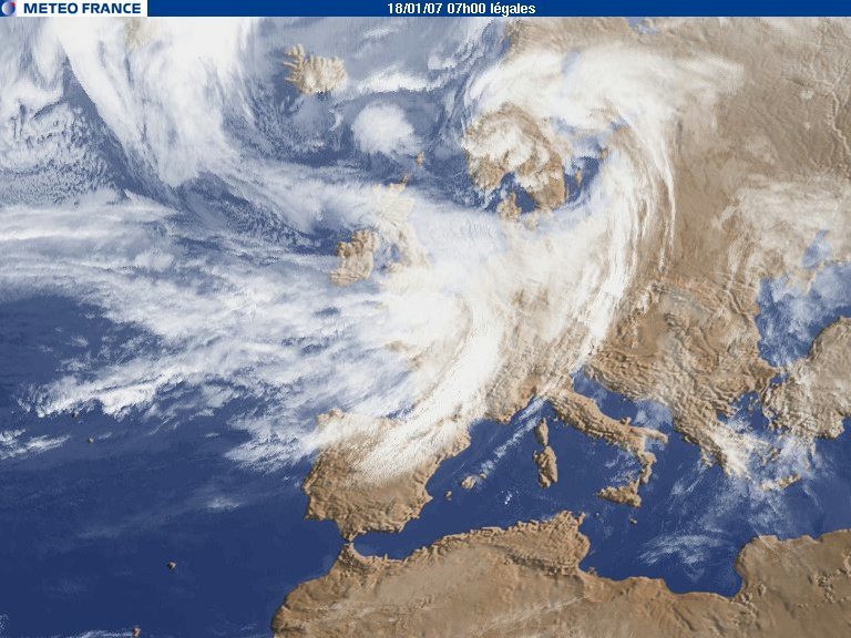
[
http://www.catnat.net/images/stories/images_evt/2007/kyrill_180107.jpg
]
Sélection de différentes cartes satellites animées.
[
./indexpag.html
]
[
http://www.austrocontrol.at/met_data/satellite/sat.gif
]
[
Web Creator
] [
LMSOFT
]